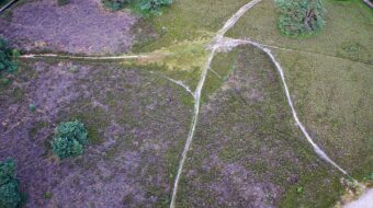
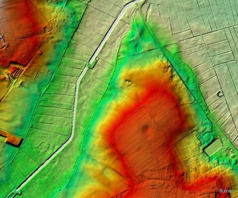
View over the break-through valley from the Buunerbult
From the Eilandenweg on the Noorderesch of the village of Buinen you have a fantastic view in every direction. In the Buinen village they call this place the Buunerbult or ‘Buinen Hump’. To the east you can see for many kilometres as far as the peat towns. In the other direction lies the Hondsrug, on the far side of the valley of the Voorste Diep, one of two streams which combine to form the Hunze river.
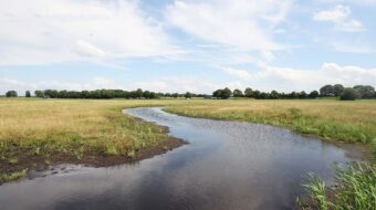
Breakthrough valley
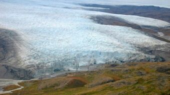
The Buunerbult hill was also originally part of the Hondsrug ridge. Over time, water gathered on both sides of the Hondsrug. On the west side the water reached so high that the flood was able to break through the hills. Between Borger and Buinen the Voorste Diep cut through the Hondsrug and the Buunerbult became separated from the Hondsrug.
It cannot be said for certain when this breach actually happened. Some geologists think that it must have been during the Weichsel Ice Age, others that the breakthrough happened more recently, or earlier when the Saale ice cap melted.
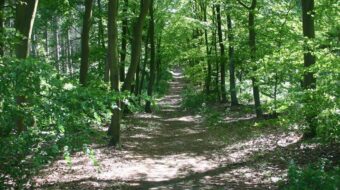
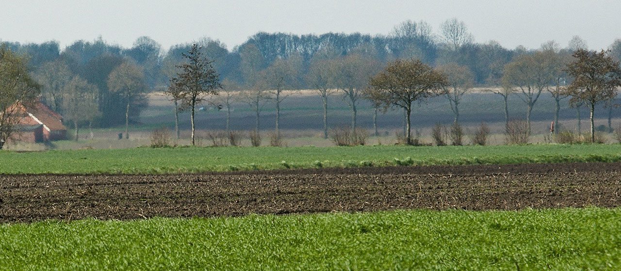
Short hike
From the center of town of Buinen you can make a short hike up the hill of the Buunerbult and enjoy the view in every direction.
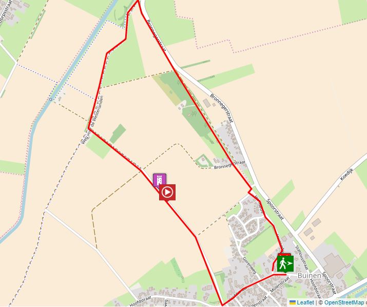
Location data
Country road
Coordinates: 52°56’10.0″N 6°49’41.0″E