Ice ages, from icy cold to sub-tropical heat
Some 2.5 million years ago the Ice Age started: periods of extremely cold climate, when a thick ice cap covered north-western Europe, interrupted by shorter periods of warm climate, the interglacials. At least 23 spells of very cold climate have been recorded. The northern Netherlands, including the Hondsrug, have been sculpted by moving land ice and vast amounts of melt water. Icy gales transformed the area into a polar desert. Four parallel ridges were ploughed by the ice through the polar landscape: the Hondsrug and its adjacent ridges. In-between the ridges deep valleys were gauged by massive amounts of meltwater. For a good understanding of the glacial landscape it is important to have some knowledge of the last three ice ages.
The Elster ice age (475.000-410.000 years ago): Pussy Sand and Pot Clay
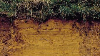
Advancing glaciers from Scandinavia covered Northern Drenthe probably for the first time during the Elster Ice Age. Their legacy consists of deep erosional valleys, filled up by thick beds of fine, mica-rich sand and heavy, dark clay, deposited by melt water. The white sand is commonly called ‘Peelo’ sand or ‘Pussy’ sand after its soft, shiny nature; it can locally be found at the surface in the Balloërveld. The ‘Pot clay’ is a layer of dark, impermeable clay that was used for pottery and brick-making. Because of its impermeability it is characterized by specialized plant communities.
Warm periods
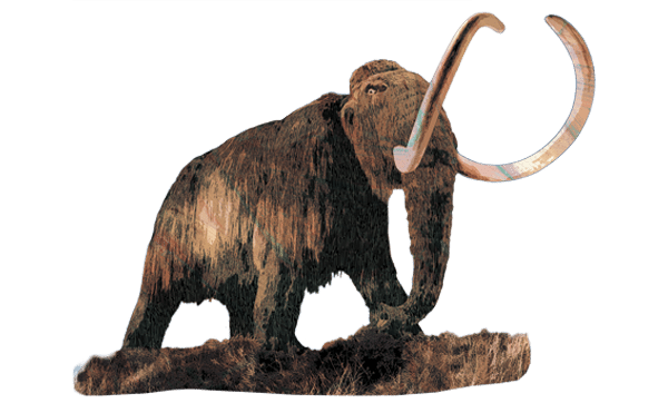
The cold ice-ages were separated by warmer periods, the interglacials. During these warm periods temperatures could rise to sub-tropical levels and animals like elephants, hippos and hyeanas lived here in abundance.
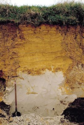
The Saale ice age (370.000-130.000 years ago): Moraine (Boulder Clay)
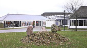
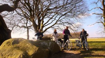
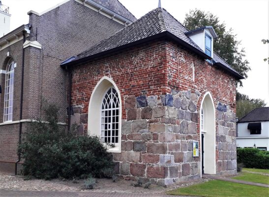
During the Saale ice age a thick ice cap covered the Northern Netherlands as far as the line Amsterdam – Utrecht – Nijmegen. Traces of the ice cover can be found in the landscape, e.g. ice-pushed ridges (Utrechtse Heuvelrug). The moving glaciers brought erosion products from the north in the shape of glacial moraine, including large boulders and boulder clay. These boulders can be seen everywhere in Drenthe and have been used in the construction of the hunebeds (dolmens), churches and roads.
During some warmer periods the ice melted, followed by colder intervals with advancing ice sheets. According to a recent theory a ‘river of ice’ formed inside the stagnant Saale ice sheet, which ploughed a pattern of 70 km long, parallel ridges and furrows in a northwest – southeast direction: the Hondsrug ridge and the valleys and ridges west of it. This created the unique Hondsrug landscape of low, parallel ridges. Later, the furrows were deeply eroded by the vast quantities of meltwater, creating the valleys of the Hunze, Drentsche Aa and other rivers in Drenthe.
Once the ice had melted, a thick layer of boulder clay was left behind, with the huge boulders that were used later as building material for the ‘Hunebedden’ burial monuments.
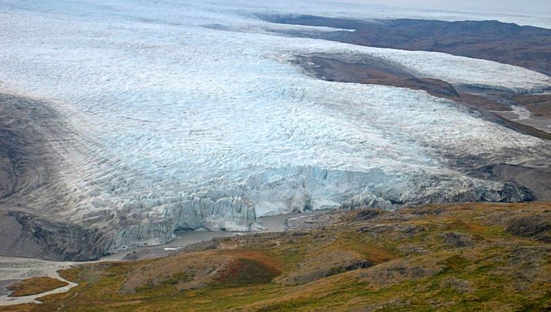
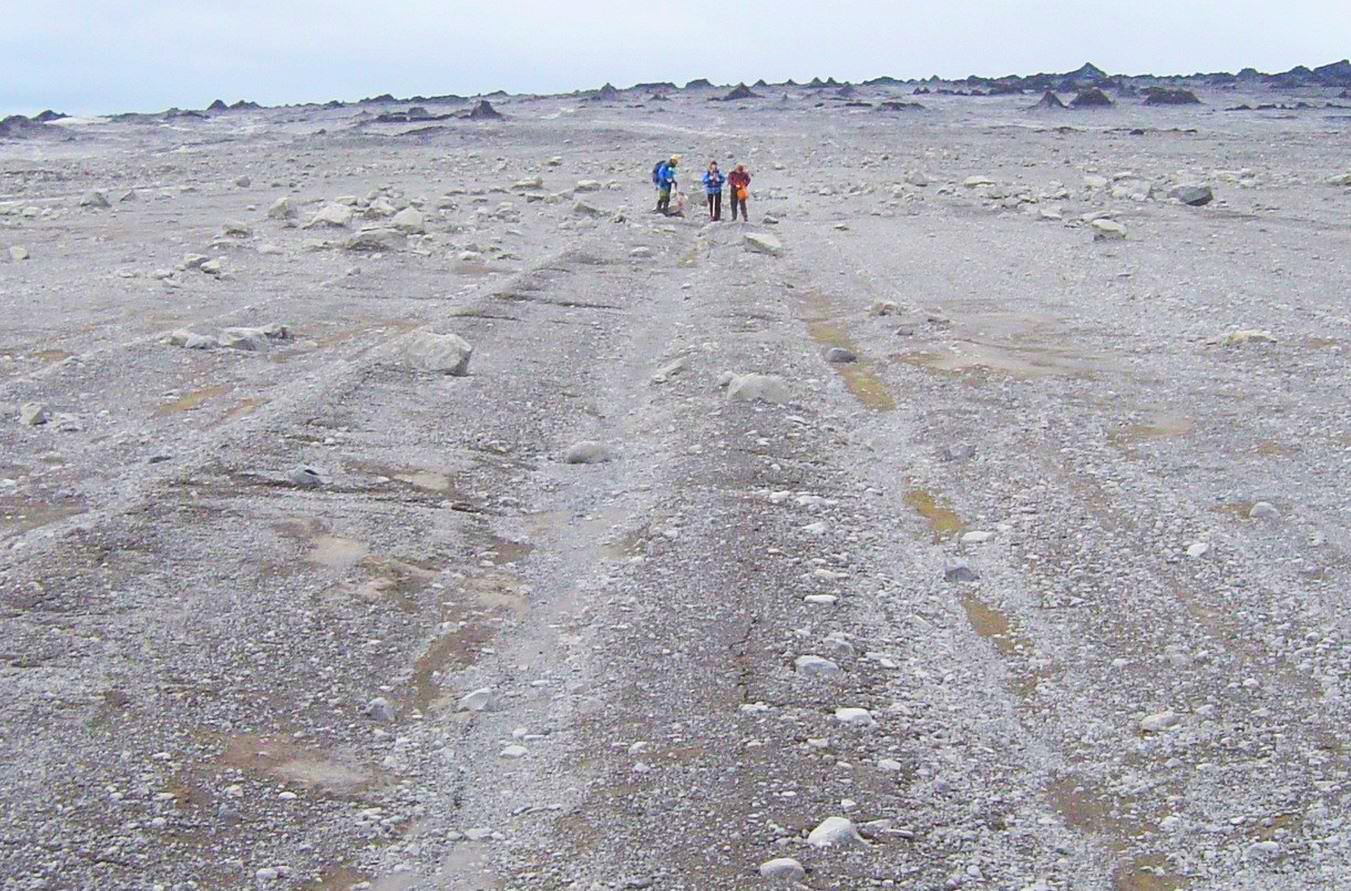
The Weichsel ice age (110.000-10.000 years ago): Blowing sand and Pingos
The ice cover did not extend as far as Drenthe during the Weichsel ice age, but it was a very cold period, too cold for most plants to grow. Towards the end of the Weichsel even in the summer temperatures hardly rose above zero degrees. The Hondsrug area was part of a huge polar tundra plain where raging dust storms eroded and deposited sand. This so-called ‘Dekzand’ (cover sand) can today be found all over the area, in low and broad ridges, often giving a characteristic shape to the land. Click here for more information about the landscape and temperature changes during the Weichsel ice age.
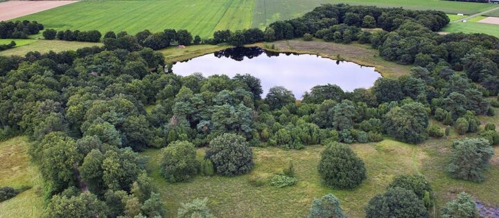
Because of the low temperatures the ground surface was permanently frozen (‘permafrost’). Flow of groundwater below the permafrost caused ice lenses to form (Pingos), which, once melted, left behind the many round ponds or depressions called ‘Pingo ruins’ , many of which which can still be found today, although most of them have filled up with peat.
The sea level had dropped by at least 100 meters and mammoths and woolly rhinoceroses roamed the area from here to England. The game animals attracted hunting parties, in particular bands of Neanderthalers who left evidence of their presence in the shape of their flint tools.
After the last ice age
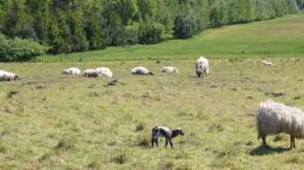
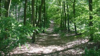
Twelve thousand years ago the last ice age of the Pleistocene ended and the relatively warm Holocene started that continues today. Rising temperatures allowed plants to start growing again and soon the area was covered in vast forests. In the valleys and ponds peat started to grow, and due to rising sea level and stagnant water flow, the peat started to grow upward, eventually covering large areas. Also humans benefited from the milder climate and moved into the area, first as small hunting parties, and from about 5000 years ago, also as farming communities. Subsequently, human activities have had an immense impact on the landscape.