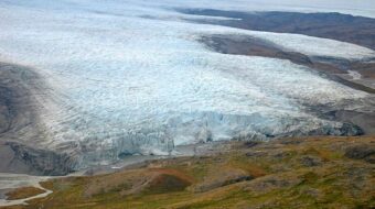
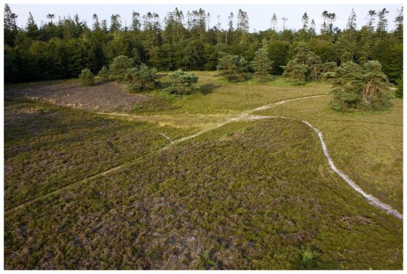
The kettle holes of the Buinerveld
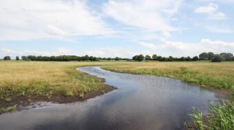
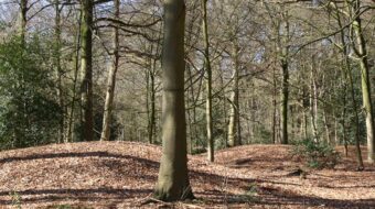
Between the villages of Ees and Buinen lies the former Buinerveld. Since the land reclamations of the last century it has almost completely been transformed into one large area of woodland. Throughout the forest you can find small round depressions, reminders of the last ice age, the Weichsel Ice Age.
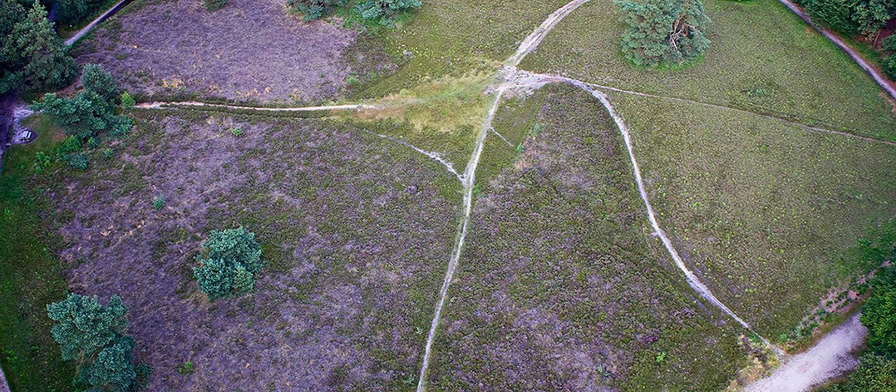
Kettle holes from the last ice age on the Buinerveld
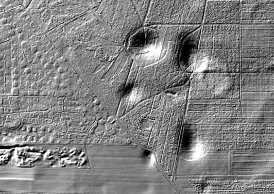
The frost of the Weichsel Ice Age meant that the ground was permanently frozen to a depth of many metres. Nevertheless ground water managed to reach the surface through fissures in the earth. There it froze, but the water continued to well up and over many years grew upwards into a high mound of ice, known as a pingo.
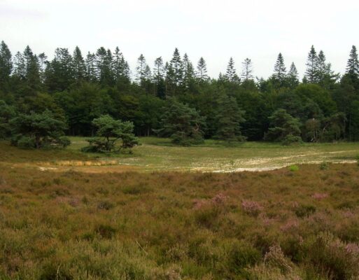
When the ice melted at the end of the Weichsel Ice Age, a deep crater remained where the ice-cored mound had been and this filled up with water. Later peat grew to fill the pingo remnant. That is, unless the bottom of the pond consisted of coarse sand, because then no water remained in the crater. Such dry pingos are called ‘gletsjerkuilen’ or kettle holes. One of the best examples of a kettle hole lies on the Buinerveld near the village of Ees. In times of war the entire population of the town could hide in one of these holes.
Walk
Starting from the hotspot (or from the entrance of the recreation park) several walking trails have been marked. One of the most interesting is the ‘Trail of the Mammoth‘, which also takes you by the ‘wildwood’, a left-over from the great storm of 1972.
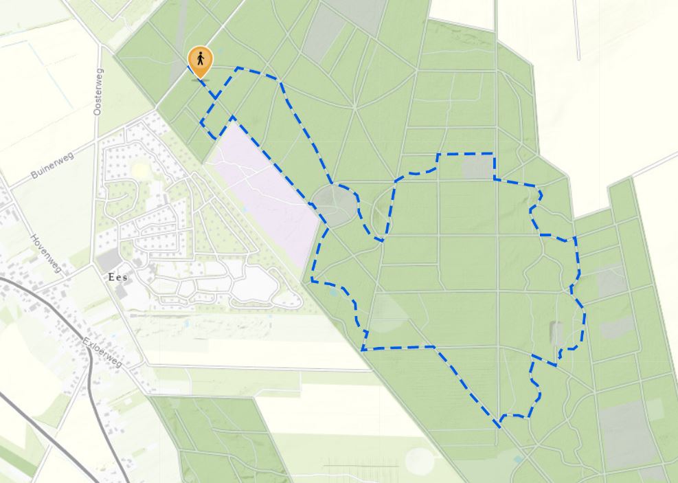
Location data
Coordinates: 52°54’36.6″N 6°49’23.8″E