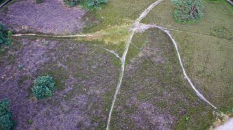
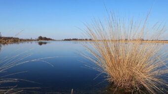
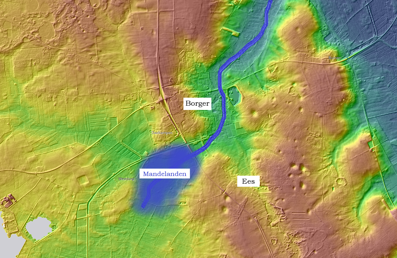
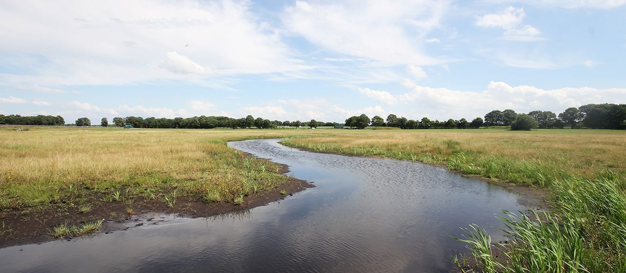
A valley eroded by meltwater
Shifting and melting ice created an enlarged ridge at the end of the Saale Ice Age more than 100,000 years ago. So much meltwater accumulated behind this so-called Hondsrug that it broke through the ridge. This resulted in the formation of a large and deep breakthrough valley to the south and east of Borger. This valley is fed by the water of today’s Voorste Diep.
Back to the origins
How could breakthrough valley appear right here? That requires us to go back to the Elster glaciation, which occurred over 400,000 years ago. Huge gullies formed in the landscape, some of which were up to 300 meters deep. There was also a deep gully at this location. The gully was filled in with sand, clay, and stones over time. Because this was a weak spot in the Hondsrug ridge, a breakthrough valley could form here by the meltwater of the Saale glaciation.
Hunters and game
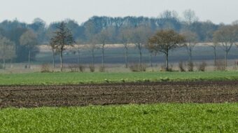
The Weichsel Ice Age, which ended around 12,000 years ago, was the most recent ice age. Temperatures rose, and the barren plains sprouted grass, shrubs, and forest. Animals could find enough to eat here for the first time in thousands of years. Hunters came this way because of the large herds of reindeer. They moved from one temporary encampment to another in small groups. They are commonly referred to as reindeer hunters. They always camped near bodies of water and on sandy ridges near stream valleys, such as the Mandelanden on the other side of the N34 road.
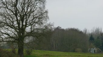
High and dry
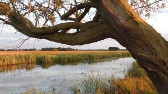
De Hondsrug was a place where you could live high and dry even in prehistoric times. The first farmers lived here around 5,000 years ago, as evidenced by the large stone tombs known as hunebedden or dolmens. There must have been several dozen hamlets on the Hondsrug’s flanks at the time. They were always three or four farms apart. These prehistoric farmsteads, like the modern villages of Ees and Borger, stood on the transition from high to low ground.
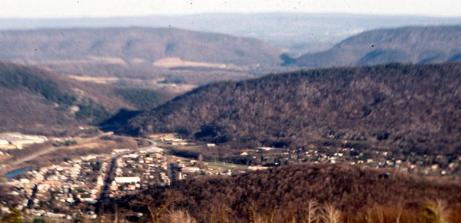
Watchtower location details
Along the Borger – Ees road, a watchtower has been erected from where you have a nice overview of the breakthrough valley. There is a small car park on Holtslagenweg; from there it is a short walk to the watchtower. An information panel tells you about the history of the area.
Watchtower coordinates: 52°54’49.0″N 6°47’50.5″E