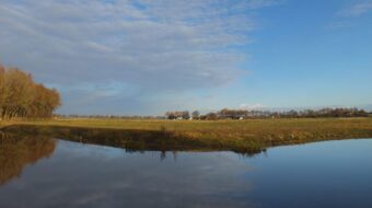
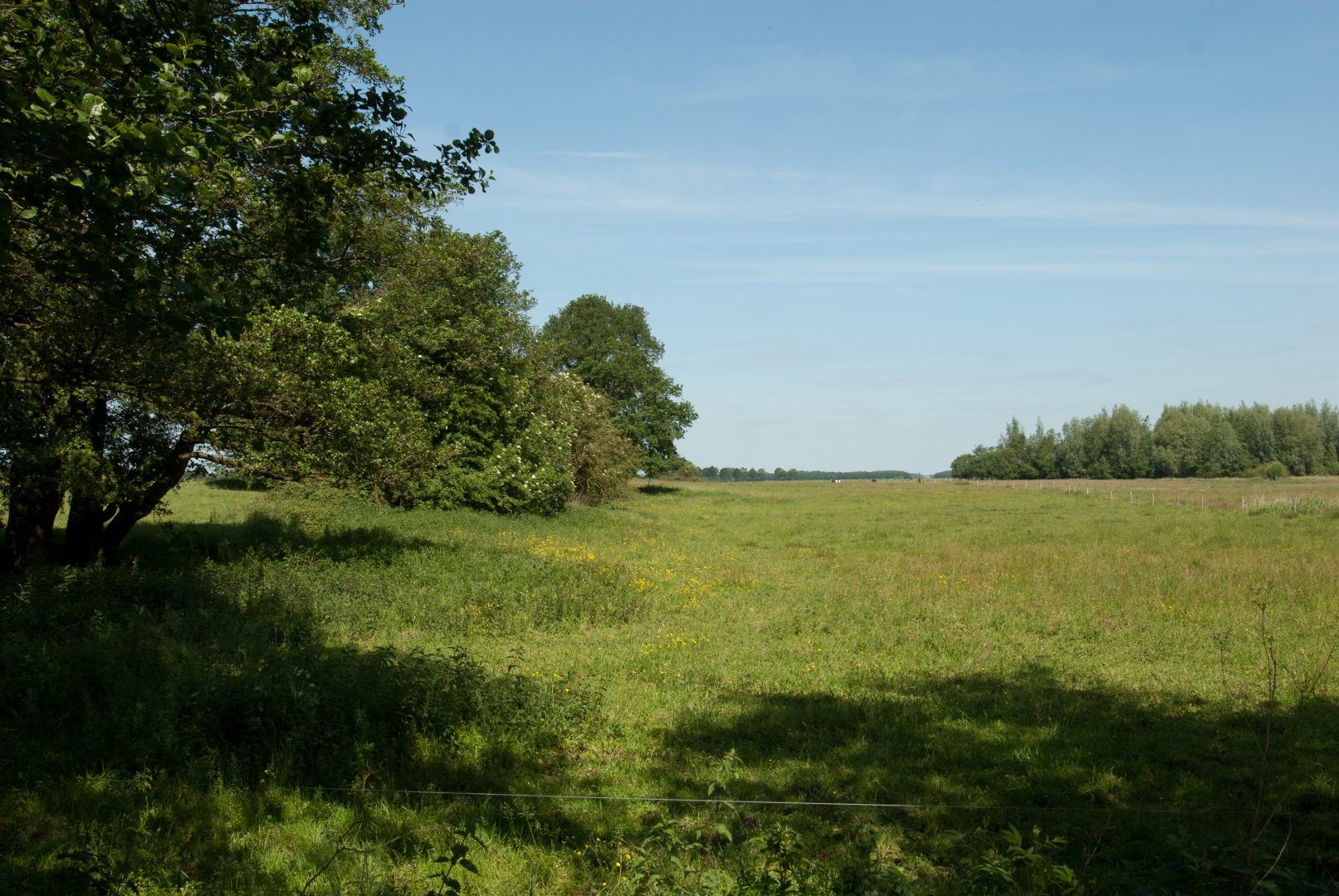
Duunsche Landen, an old wind-erosion depression surrounded by dunes
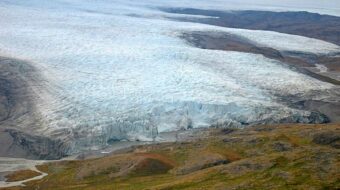
The Saalian Ice Age came to an end hundreds of thousands of years ago. The ice melted. Enormous volumes of water searched for a way to the lowest point. On the east side of the Hondsrug a wide river of meltwater formed. This river – the ancient Hunze you might call it – came from the southeast, from Twente and from Munsterland in Germany. At that time you would have been standing forty metres lower than today. The bed of the river was many kilometres wide.
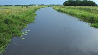
Sand dunes along the Hunze near Spijkerboor
In the second half of the last ice age the permanent cold turned the landscape into a barren waste land. The Hunze valley was mostly dry. Polar winds drove the sand over the surface. In some places here on the edge of the Hunze valley the wind blew the cover sand up into high dunes. You can still recognise the word ‘dune’ in the name Duunsche Landen.
You can also still see from the shape of the dunes that the wind mainly blew from the southwest. They stand in the form of a horseshoe with the open end towards the southwest. The official name for this is a parabolic dune. Together the dunes form an almost circular deflation depression. This spot has recently been selected as one of the geological landmarks of the province of Drenthe.
Walk
From the small parking place you can walk across the heights to the wetlands along the Hunze river. If you’re lucky you may find the tracks of otters, beavers or badgers.
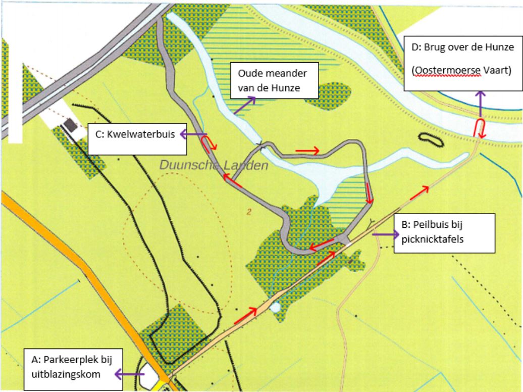
Location data
Coordinates: 53°03’30.8″N 6°45’54.0″E