Walking over the Hondsrug near Kostvlies
- 6,5 km (4 miles)
- 2 hrs
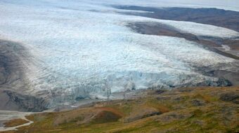
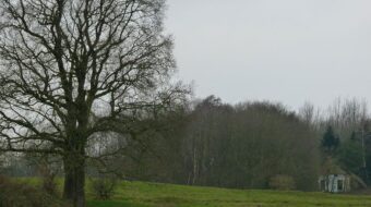
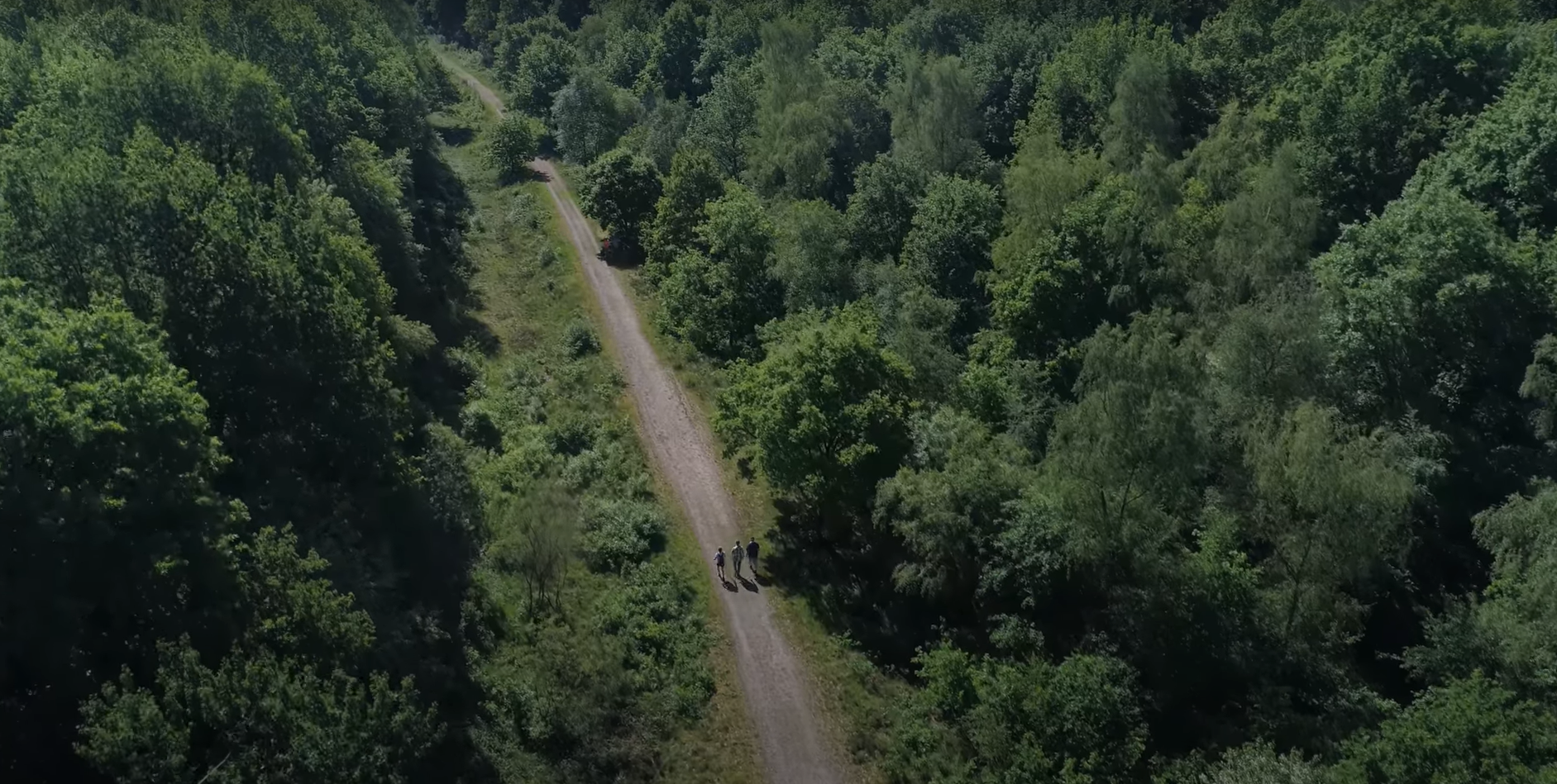
The area around the hamlet of Kostvlies is quite special. The name Kostvlies (“loss of investment”) suggests an infertile landscape, but nothing could be further from the truth! Together with Vereniging de Hamerlanden, the foundation Drents Landschap and local entrepreneurs, the Hondsrug UNESCO Global Geopark aims to tell the story behind this special location. Follow the Hamerlanden trail for 6.5 kilometers as it has been laid out by the Vereniging de Hamerlanden and you’ll be walking through a unique landscape, formed thousands of years ago by the ice ages.
Human activity
Along the way you will see that not only the ice ages have left their mark on the landscape, but it is also the result of thousands of years of human activities in the area…
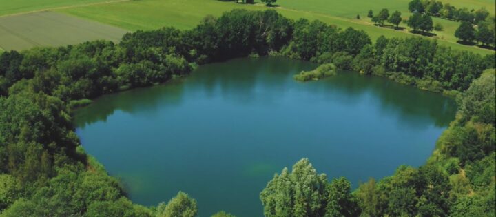
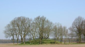
The Hamerlandenroute takes you past special places where man has resolutely put the shovel in the Hondsrug ridge. More than a century ago, the Ravijn (“canyon”) was excavated in order to be able to build a railway line through the Hondsrug, with a station at Gasselte. Further on you come to the Zandgat (sand pit), a deep hole in the Hondsrug created by sand extraction, which is now a valuable nature reserve.
Walk across the estate of the De Semslanden golf course, which was founded on the transition of sand and peat. Hundreds of years of hard work created the es (open fields) of Gasselte, balancing on the flank of the Hondsrug. These are all ingredients for an exciting walk, in which you experience all the core values of Geopark de Hondsrug over a short distance.
How to get there:
The route is accessible from two starting points:
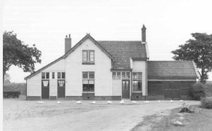
- Parking at De Wiemel, Gieterweg 2, 9462 TD Gasselte.
- Parkeerplaats De Semslanden, Nieuwe Dijk 1, 9514 BX Gasselternijveen
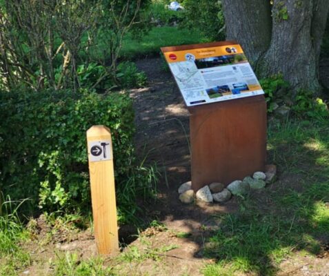
From there you can follow the signs with the hammers to the route. NOTE: The route is not suitable for wheelchairs, scooters and prams.
Experience even more and walk along with the app:
You can find the walk in the Drenthe routes app.
- Download the ‘Drenthe Routes’ app on your smartphone from the play- or app store, but also switch on your GPS directly in the phone settings;
- Start the ‘Drenthe Routes’ app, after it has been downloaded;
- Look up ‘Find a route…’ and type in ‘Hamerlandenroute’;
- The hiking route of Geopark de Hondsrug will appear at the top of the screen;
- Press on the route to start;
- Select ‘Bekijk op de kaart’;
- Your phone will now follow the app-route. You can now find in-depth and surprising information at various special locations along the route.
We recommend that you take energy-saving measures on your smartphone during a route: switch off your wifi and bluetooth; switch off all other apps and lower the brightness of your screen. This way your battery will last longer, so you can complete the route. Have fun!