Water, water everywhere!
Even if you don’t see it, water is present everywhere in the Hondsrug area in one form or another. The story of the Hondsrug starts with ice and meltwater. From at least 450,000 years ago (Elsterian) ice and meltwater carved an shaped the Hondsrug and the adjacent ridges. From then on till today, water, in whatever shape, has always played an important, life-bringing or threatening role.
Ice and Meltwater
Large quantities of meltwater produced by the thawing of the Saale ice-cap carved the deep valleys of the Hunze and Drentsche Aa, east and west of the Hondsrug. Because of the low sea-level at that time, these valleys were cut real deep (50-100m) and a broad floodplain was formed, which at a later stage was large filled with wind-blown sand.
Towards the end of the Saale ice-age, some 150,000 years ago, within the ice-cover a fast-moving ‘river of ice’ started flowing from the northwest to the southeast. Pressures on the soil and the groundwater beneath the fast-moving ice generated a number of parallel ridges (‘mega-flutes’) , of which the Hondsrug is the most prominent. Later, meltwater was funnelled through the depressions in between the ridges, eroding the original river valleys of the Aa and the Hunze.
Groundwater and seepage
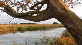
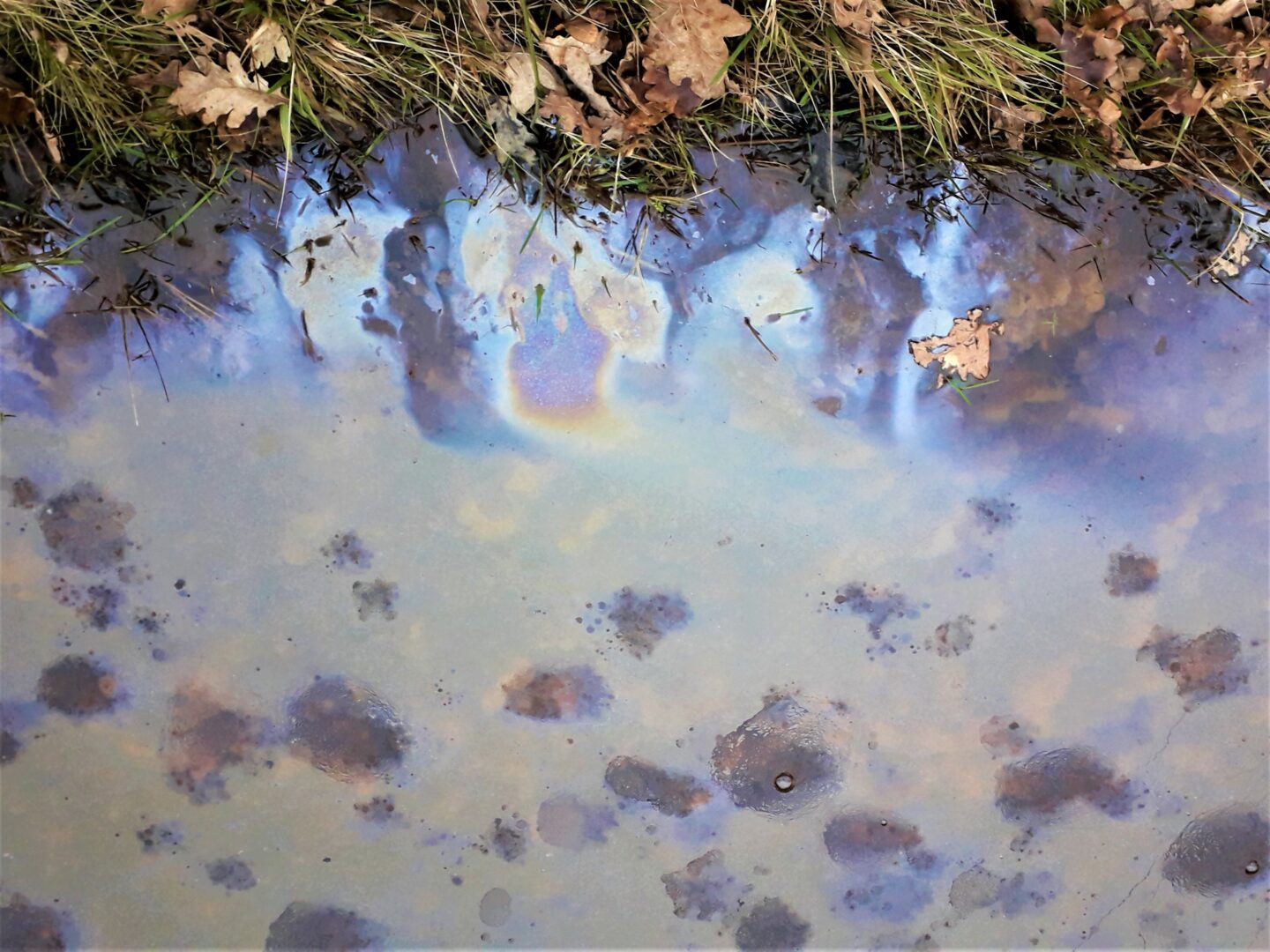
Normally rainwater will sink into the ground. Good permeable sands occur in the upper 200m, but in Drenthe there are also several impermeable layers, so the exact course of groundwater is controlled by the geological layering of the sub-surface. Once sinking groundwater hits a barrier, it will start to flow sideways and will eventually surface again in lower lying areas, often river valleys, as seepage (‘kwel’). This seepage plays an important role in the hydrology of the Hondsrug.
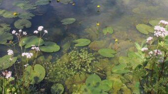
Groundwater that took a long time to resurface is poor in nutrients but rich in carbonates and this has a strong influence on local plant communities, supporting special plant communities with Horsetail, Marsh-marigolds and Water-violet. These plant species are indicators for good quality groundwater.
Drinking water
A precious supply of billions of litres of clean, fresh water is sitting in the porous sand reservoirs deep below the Hondsrug. These reservoirs provide clean and reliable drinking water for Groningen and Drenthe. Some 30 Million cubic meters of water are produced yearly by the Waterleiding Maatschappij Drenthe (Communal Water Supply Drenthe). To guarantee continued supply of this clean water it is important to protect this important resource in a sustainable way..
Navigable water
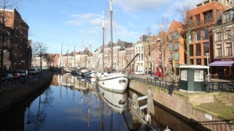
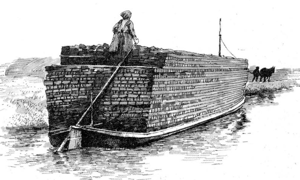
Already in the Middle Ages the Hunze river, east of the Hondsrug, was an important artery for the shipping of peat and other trade goods. New canals improved the transportation of goods, originally to Groningen via the Stadskanaal (City canal), later to Meppel in the west via the Hoogeveense canal. After the 2nd world war most of the canals lost most of their transport function, and many were filled in. Recently some of the shipping routes via the canals have been re-opened for the tourist trade in the Hondsrug area.
Water of Life
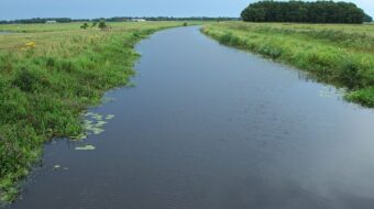
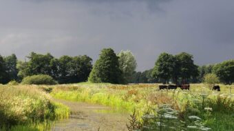
Water in the shape of rivers and brooks, was essential for the original farming communities in Drenthe. The meadows along the brooks were important for grazing and hay harvest. The richer villages had access to larger areas of bottomlands. During the fifties, sixties and seventies of the last century, many of the old brooks and streams were regulated and straightened. Thanks to the effort of a small group of enthusiasts the river system of the Drentsche Aa was saved from regulation and protected for the future. More recently, in many places in Drenthe the old rivers like the Hunze, Drentsche Aa and Oude Diep have been restored to their original course and are allowed to find their own way again.

Come rain and high water
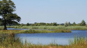
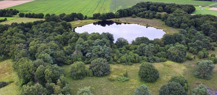
Rainwater from the high areas of Drenthe runs off towards Groningen in the North and Coevorden and Meppel in the South. In times of abundant rainfall, this can be problematic, leading to flooding in and around these low lying towns. For instance, in 1998 the floodwaters threatened to inundate the new Groningen Museum. Since then, storage of water up-stream has become an important goal in water control. Large scale ‘Climate buffers’ or reservoirs have been created which can temporarily capture the precipitation during times of excessive rainfall. These reservoirs also have an important nature reserve function, like the Hunze valley, the Dwingelderveld and the Onlanden near Groningen.
In waterpark ‘De Bloemert’ near Zuidlaren you can study the many aspects of water in the Hondsrug region.