Nature comes in many shapes in the Hondsrug area
The concept of nature is hard to define in the Netherlands and the Hondsrug area, because every square inch of its soil has been interfered with by human activity. What did the area look like before the arrival of modern man? Large areas were covered by virgin forest, interspaced with more grassy plains, swamps and shrubbery. Drenthe was surrounded by extensive peat bogs. Following the arrival of the first farmers, most of the forests slowly disappeared and the landscape was shaped by thousands of years of, often destructive, interactions between humans and nature.
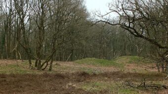
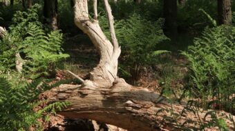
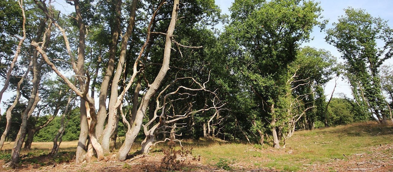
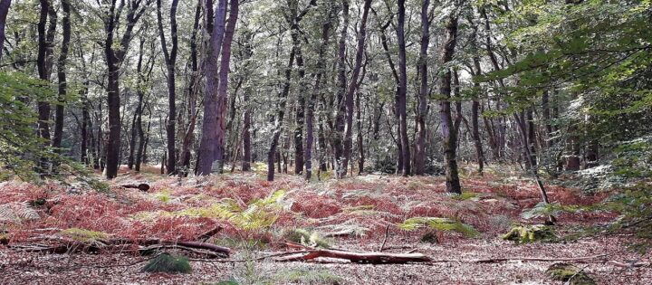
The Forests
Only small remnants remain of the original woodland, close to the old villages, where they served to provide timber and fuel. Most of present-day’s extensive woodlands were planted fairly recently, in the last hundred years. Most of these forests are actual plantations, planted to reclaim the heathland and stabilize the soil. Only recently are the forests allowed to grow in a more natural way, so really old trees are very rare in Drenthe.
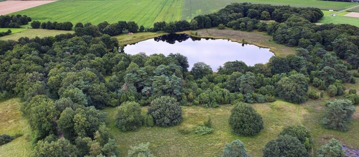
Lakes and Ponds
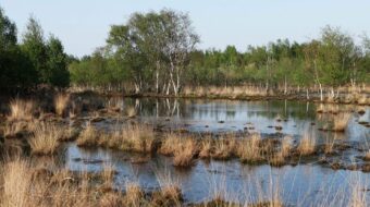
The only large lake in the area is the Zuidlaardermeer. There are many other smaller ponds, formed in local depressions. Many of these depressions are so-called pingo-ruins (collapsed pingos), remnants from the last ice-age, when melting ground ice left round depressions in the surface. Other depressions can be formed by wind erosion. Because of impermeable layers in the sub-surface, water is captured in these depressions. If left to themselves, the ponds will eventually fill up with peat-bog. In many cases this peat-bog has been quarried for fuel.
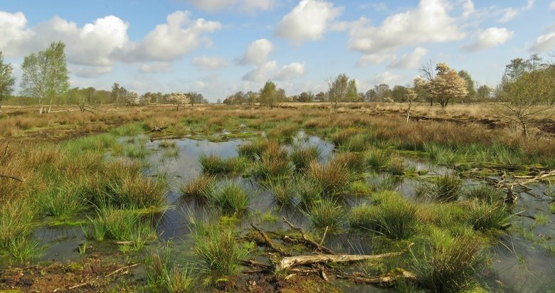
The Peat bogs
The extensive peat bogs or fenns started growing after the last ice age, some 12000 years ago. Rising temperature and sea level caused growth of vegetation in areas where groundwater was stagnant. River valleys became water-saturated and clogged up with organic plant material called ‘laagveen’. Continued stagnation (lack of drainage) lead to the formation of raised peat bogs when the spongy Sphagnum moss grew above the groundwater level and started to encroach the higher sandy plateaus of Drenthe. Eventually, large areas surrounding central Drenthe and the river valleys were covered with inaccessible peat bogs.
The smaller bogs were reclaimed for local use as fuel. Also, many disappeared due to drainage and reclamation as farm land. The extensive blanket bogs or fenns in the east and west of the province were reclaimed in a systematic way; the peat fuel first being used locally and later excavated on an industrial scale and sold to the energy-hungry cities in the west of the Netherlands.
Recently there has been a move to protect and restore some of the peat bogs, mainly by restoring the old groundwater levels, preventing the drying-up of the bog.
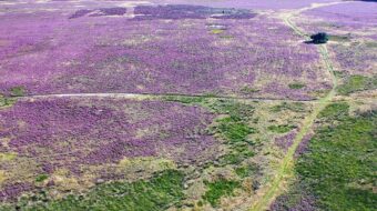
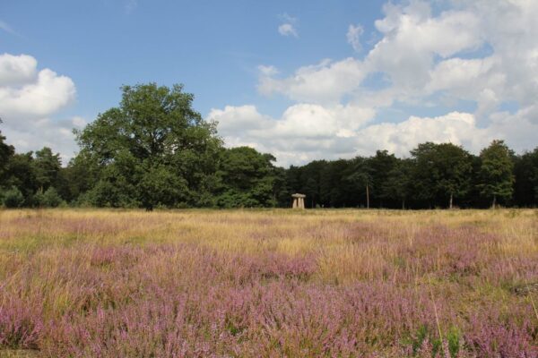
The Heathlands
The heathlands are the result of human-, or rather sheep, activity. Without sheep there would be no heather. Centuries of grazing by growing herds of sheep (and cattle!) created the extensive heathlands at the cost of the forests. The sheep manure was collected in the folds and used to cultivate the crops on the arable land and as such, the sheep and their manure were the basis of the Drenthe farming economy.
The introduction of fertilizers at the start of the 20th century made the large flocks of sheep superfluous, and large tracts of heathland were reclaimed and turned into farmland and forest. The remaining heathlands are threatened by uncontrolled growth of trees and grass and, without conservation efforts, these would disappear quickly and the original wildwood would re-establish.
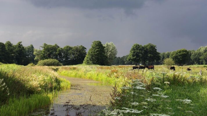
Streams and Brooks
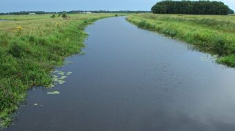
The valley of ‘Drentsche Aa’ river, within the bounds of the Hondsrug Geopark, is one of the best preserved brook systems in Northwest Europe. It is a widely-branched system of rivulets, brooks and streams, uniting into the ‘Drentsche Aa’ near the city of Groningen. East of the Hondsrug the river Hunze finds its course and eventually joins the Aa near Groningen.
In the fifties and sixties of the previous century, most of the streams were regulated, to improve drainage and make modern, intensive agricultural methods possible. Miraculously, most of the Drentsche Aa system escaped this regulation. In recent years, changing insights in nature conservation and the need to store rainwater up-stream has resulted in the restoration of streams like the Aa and the Hunze and the re-creation of the old meandering systems.
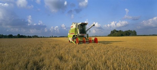
Farmland
Nature and agriculture are closely liaised and often collide in the Hondsrug area. In the course of many centuries farmers and peat diggers transformed the natural landscape into the fields, pastures and heath-land seen today.
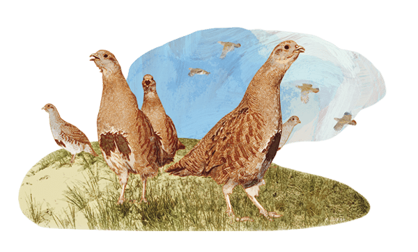
Large-scale modernization of farming in the previous century provided farmers with easier access to larger fields required for modern competitive farming. Old hedgerows were eradicated and ponds filled in. This quickly lead to the disappearance of the typical farmland flowers and birds. Fortunately, there are some efforts now to restore the original farmland flowers along the edges of fields, but the abundant spring chorus of Lapwings, Godwits, Redshanks, Meadowlarks and Curlews has disappeared forever in this new Silent Spring…
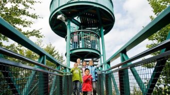
A good place to start exploring the rich nature of the Hondsrug is at the ‘Boomkroonpad’ outdoor activity center near Drouwen.