The mysteries of the Sleener Sand
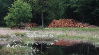
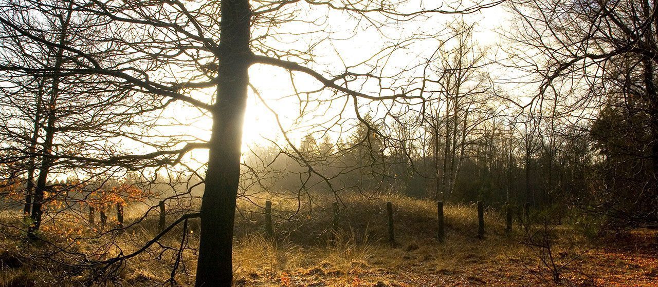
The Sleenerzand between Schoonoord and Noord-Sleen was once a dreaded area of drifting sand. This ‘desert’ arose primarily because of the heavy traffic on the Sleenerweg, one of the old routes from north to south between Coevorden and Groningen. Here at the village of Schoonoord the Oranje Canal cut through the Ridge of Rolde and the sand posed a threat to the canal. This was one of the most important reasons for removing the Sleenerzand sand dunes at the beginning of the last century. The Woodland Management Agency (Staatsbosbeheer) planted the Sleenerzand with pine trees, larch and spruce.
Continuous inhabitation
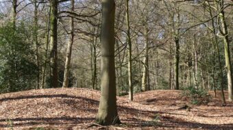
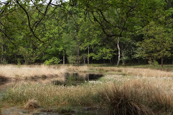
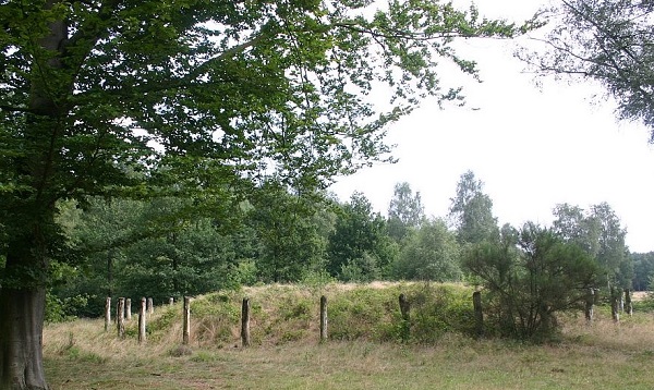
The Sleenerzand on the Ridge of Rolde must have been inhabited continuously for at least three thousand years. Relics from throughout this time can be found here: a hunebed from the Stone Age, burial mounds from the Bronze Age and a celtic field from the Iron Age. At the beginning of the present era, the farmers left the land and went in search of better places to cultivate.
The Priestless Church
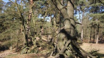
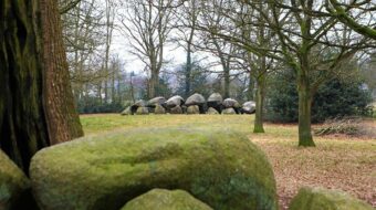
Hunebed D49 on the Sleenerzand is unusual. If only because of its name, the ‘priestless church’. In the sixteenth century illegal protestant services were held here in the open air ‘without the pope’, or at least without a catholic priest.
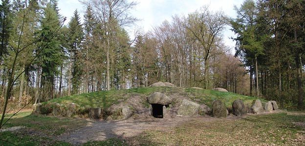
In the 1950’s the archaeologist Prof. Van Giffen reconstructed a large part of the hunebed. He wanted to show how hunebeds must have looked in the Stone Age. Half of the Popeless Church was covered with sand and peat turfs and given a ring of standing stones. Such an act would now be considered inconceivable because of the protected status of the hunebeds.
Location data
Parking lot Sleenerzand
Coordinates: 52°49’17.9″N 6°46’30.5″E