Ice-age landscape of the Appelbergen
The former military training area at Appelbergen lies on the Hondsrug to the east of the village of Glimmen. The first part of the name is pronounced as Appèl. This is a reminder of the military use, for this was the place where troops assembled for field exercises.
Sand drifts
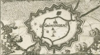
Since time immemorial the route from Coevorden to Groningen ran across this region. The old cart tracks are still recognisable as deep grooves across the land. This busy traffic resulted in the surface of the heath being broken up and replaced by sand drifts. Which explains the second part of the name Appelbergen – mountains …
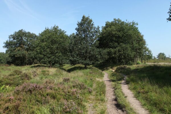
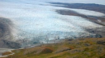
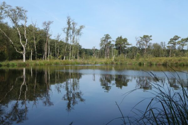
Collapsed pingos
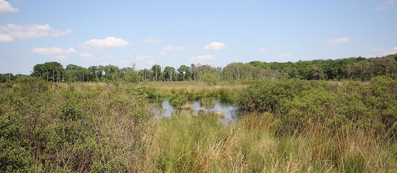
All over Appelbergen you can find traces of the last Ice Age. For instance pingos, or hills of ice, rose up in the Weichsel Ice Age and then collapsed when the ice melted. You can recognise these as round pools on the heath. The sand which lies in the drifts on the surface is cover-sand deposited here in the Weichsel Ice Age by polar winds on the once-bare flanks of the Hondsrug.
Hiking trails
From the pavillion Appelbergen you can make a number of interesting hikes through the hilly ice-age landscape. You can follow the instructions or download the app/GPX. See for example:
Location data
Paviljoen Appelbergen
Coordinates: 53°08’11.4″N 6°38’22.2″E