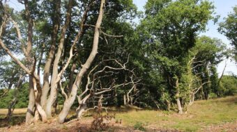
Het beekdal van de Aalderstroom is hersteld
During the last few years the Vechtstromen Water Company has invested heavily in the reconstruction of the stream valley of the Aalderstroom and Westerstroom. In the whole region, around 1,200 hectares of agricultural ground has been transformed into a ‘nature’ area.
Environmentally friendly banks
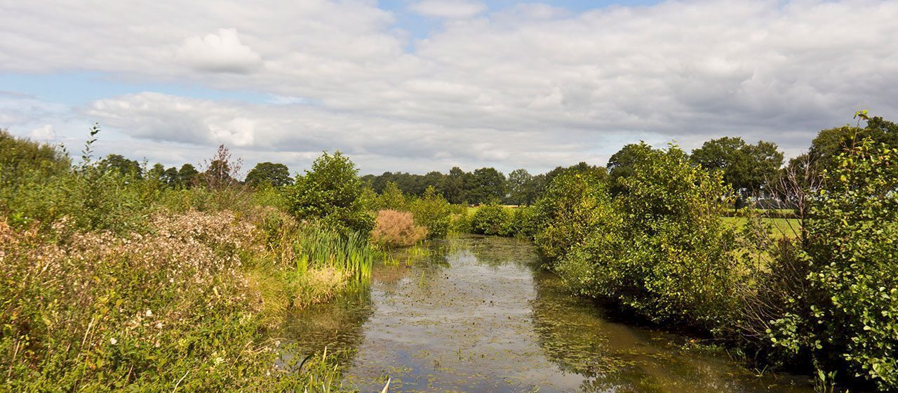
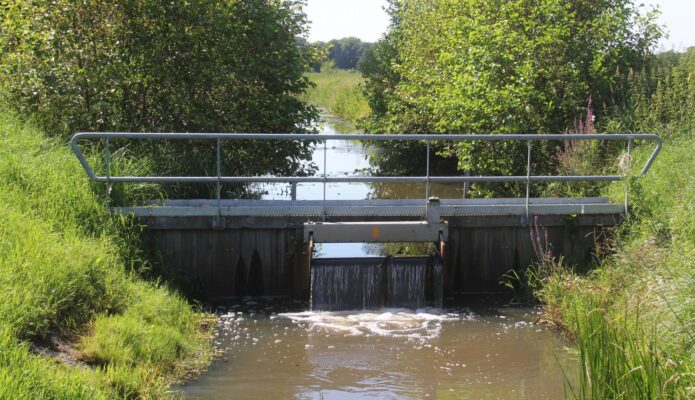
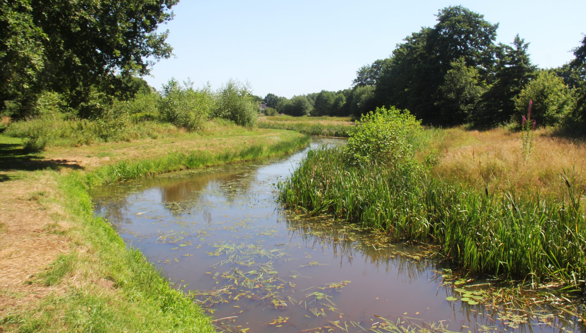
The Aalderstroom has been given a narrower bed, which enables the stream to flow faster. Many banks have become more environmentally friendly by making them slope gradually. Fish ladders ensure that fish can now once again get to the upper reaches.
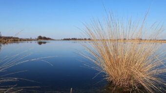
Westerstroom
Near the village of Aalden the dead straight Westerstroom has been relaid into a winding stream through a panoramic landscape. Should it become necessary, 350 thousand cubic metres of water can now be stored temporarily in the areas of the Huismaten and the Kerkhorsten between Aalden and Oosterhesselen.
Location data
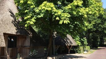
Information board Aalderstroom
Coordinates: 52°47’33.6″N 6°43’32.3″E