A graveyard at the northern tip of the Hondsrug
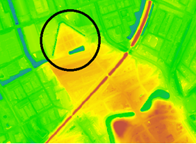
The Noorderbegraafplaats forms the northernmost tip of the Hondsrug ridge and is therefore the northernmost border of the Hondsrug UNESCO Global Geopark. Farther to the north, the boulder clay and cover sand deposits which make up the Hondsrug, are covered by thick layers of clay that have more recently been deposited by the sea.
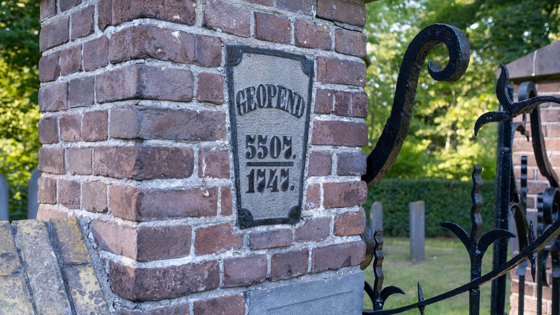
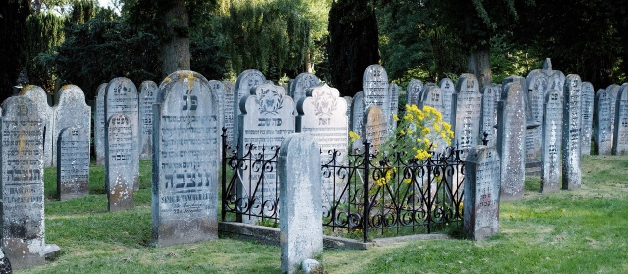
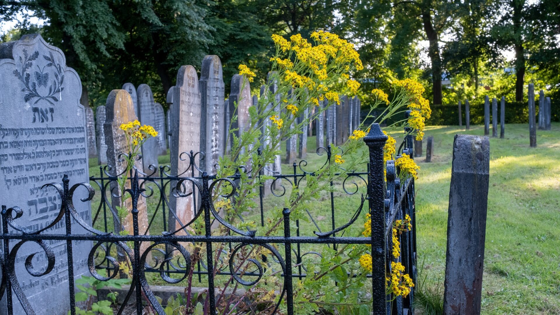
The cemetery dates from 1828, when burials were no longer allowed in the city. So it was decided to move outside the city walls, but still on high and dry ground. The Noorderbegraafplaats is one of the oldest cemeteries in the city. Until about 100 years ago, the Noorderbegraafplaats was also the northernmost point of the city of Groningen. Among the people buried here is P.R. Bos, the teacher after whom the famous Bosatlas is named.
On the detailed elevation map (below) the outline of the Hondsrug ridge is clearly visible.