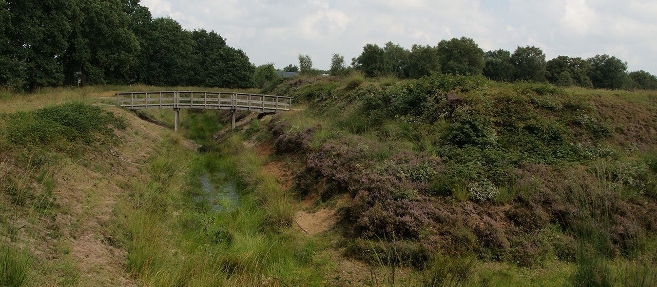
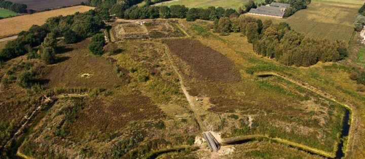
A stumbling block for invading armies
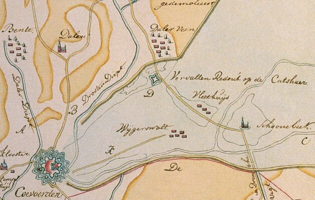
From Vlieghuis – a hamlet between Coevorden and Schoonebeek – there used to be a narrow path through the peat bogs to the northwest. This path was called the Katshaar. Close to the Katshaar the route ran over a sandy ridge in the Dalervenen, past Den Hool in the direction of Sleen. To control this passage, a fortification in the shape of a redoubt was built.
The route to Groningen
In 1593, during the Eighty Years War, a troop of Spanish soldiers followed the Katshaar path on their way from Germany towards the city of Groningen. Sometime later a new but comparatively small star-shaped redoubt was laid out here. We do not know the actual year but the redoubt was certainly there in 1681. In 1797 a renovated redoubt consisted of a square measuring 50 x 50 metres. In front was a bank with two ramparts. Around the redoubt was a moat or rather a ditch, as it was almost dry in the summer.
Biking or hiking
The Katshaarschans can easily be reached by bike or on foot from the center of Schoonebeek.
Location data
Location of the redoubt
Coordinates: 52°40’03.2″N 6°49’12.5″E