The Hondsrug Global UNESCO Geopark
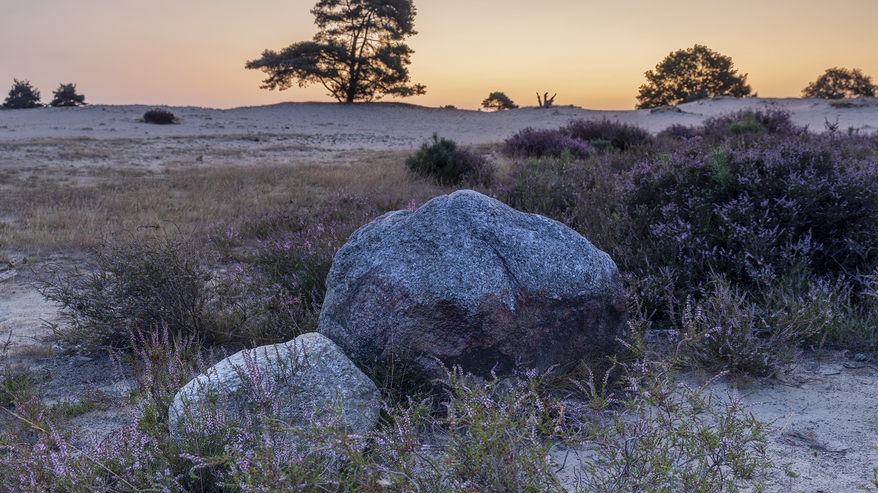
People have lived on the Hondsrug for thousands of years. A glacial ridge of sand and boulder clay in the north of the Netherlands, formerly surrounded by peat bogs and located near to the Waddenzee. For a long time the Hondsrug was the only place in a wide area where people could safely live and travel high and dry.
History
The Hondsrug has a unique geological history. A region filled with exciting stories. How it all began a few million years ago starting with the ice ages when ice, wind and water shaped the Hondsrug. About the peat bog, many meters thick, that later encroached the sandy slopes and plateau.
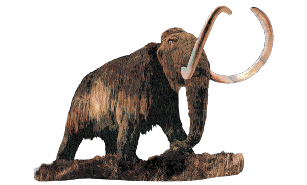
Stories about the first people who came to the Hondsrug… the Neanderthal hunters who made their camps here. We have found their flint tools and bones from the animals they hunted. The people of the Funnel Beaker Culture built their hunebeds on the Hondsrug; the tombs in which they buried their dead. In the countryside you can still see the tracks of the wagons and carts which followed the road over the Hondsrug to Groningen during the Middle Ages.
Here the farmers of Drenthe built their villages and their churches. We tell the stories about their life in the middle of the Drenthe heathfields. How people frightened each other with stories of the cruel giants Ellert and Brammert who terrorised the local countryside. And about the mythical ‘women in white’ who bewitched travellers at night.
That Hondsrug still exists. Its stories are still being told. We invite you to come to Drenthe and Groningen to discover the Hondsrug for yourself.
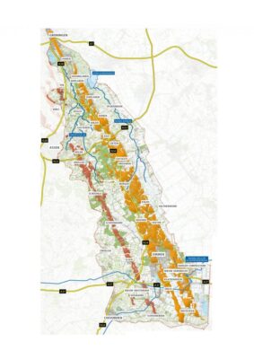
The area
The Hondsrug UNESCO Global Geopark extends beyond the Hondsrug. It consists of a number of parallel ridges, separated from each other by stream valleys. The Hondsrug region runs from the center of the city of Groningen in the north to the fortified town of Coevorden and the Bargerveen area below Emmen in the south. Apart from the sandy ridges, the stream valleys of the Drentsche Aa and the Hunze form a large part of the region. The region is seventy kilometres long with an average width of twenty kilometres. The highest point – near Emmen – lies thirty metres above sea level. The region extends over two provinces – Drenthe and Groningen – and covers seven municipalities: Groningen, Haren, Tynaarlo, Aa en Hunze, Borger-Odoorn, Emmen and Coevorden. The population is 240,000, spread over an area of almost 1,000 km2.